

Nestled along the rugged shores of Lake Superior in Minnesota, the Superior Hiking Trail (SHT) offers an extraordinary wilderness experience that beckons hikers and outdoor enthusiasts alike. Stretching approximately 310 miles from Duluth to the Canadian border, this trail is a patchwork of scenic beauty, challenging terrains, and serene campsites. In this blog post, we will dive into everything you need to know about the Superior Hiking Trail, including detailed sections, the invaluable trail map, shuttle services, current trail conditions, campsites, and tips for those looking to embark on a thru-hike.

Superior Hiking Trail Map
Understanding the layout of the Superior Hiking Trail is essential for any Adventurer. The trail map is a crucial tool that guides hikers through its winding paths and varied sections. It details significant waypoints, campsites, water sources, and access points. Hikers can find digital versions of the map online or purchase a physical copy from the Superior Hiking Trail Association, which is regularly updated to reflect any changes in the trail’s path or features.
Exploring the Sections of the Superior Hiking Trail
The SHT is divided into manageable sections, each offering unique landscapes and challenges:
- Duluth to Two Harbors: This section is known for its accessibility and features a mix of urban and wilderness hiking, perfect for beginners or those looking for a day hike.
- Two Harbors to Tettegouche State Park: Hikers here will traverse through dense forests and past stunning overlooks of Lake Superior.
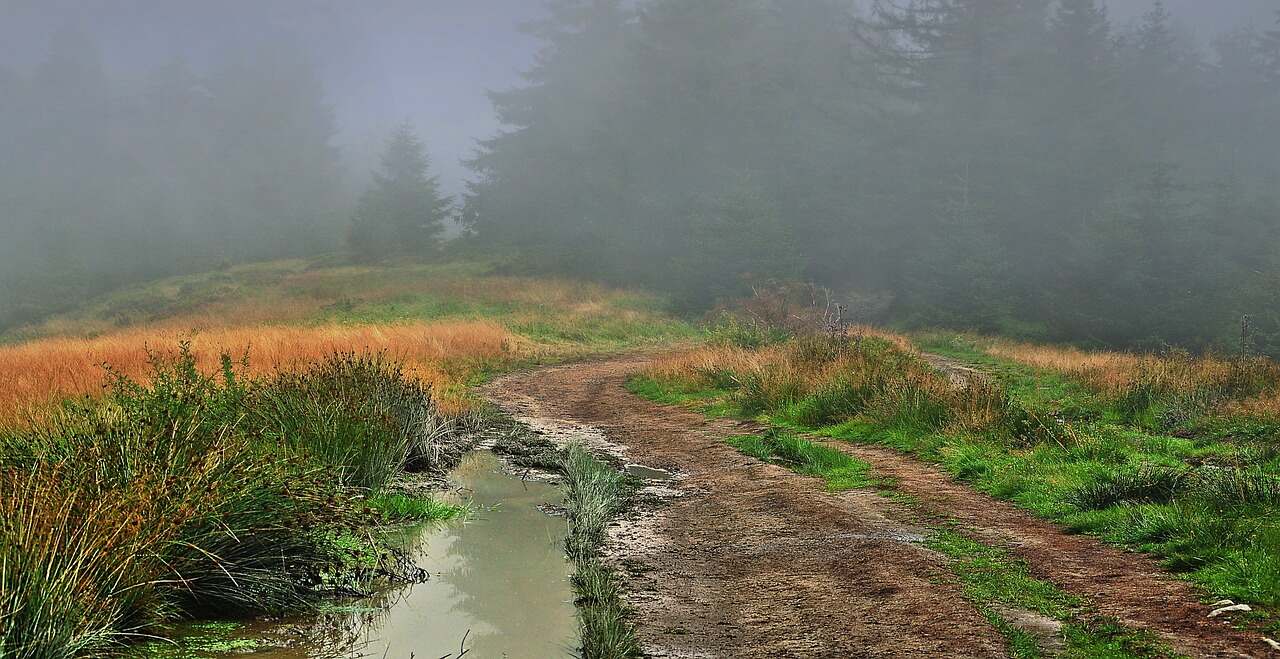
- Tettegouche to Grand Marais: Marked by steep climbs and rugged terrain, this section is for the more experienced hiker.
- Grand Marais to the Canadian Border: The final stretch includes remote and less traveled paths, offering a true sense of isolation and wilderness.
Superior Hiking Trail Shuttle Service
To facilitate point-to-point hikes, shuttle services are available, making logistics easier for hikers who do not want to backtrack. These shuttles run on schedules that are closely aligned with popular hiking times and seasons, typically from May through October. It is advisable to book shuttle services in advance, especially during peak hiking seasons.
Current Conditions on the Superior Hiking Trail
Before setting out, it is crucial to check the latest trail conditions. Seasonal weather can significantly affect trail accessibility and safety. The Superior Hiking Trail Association provides updates on trail conditions, including any closures, detours, or cautionary advice due to weather events or maintenance activities.
Campsites Along the Superior Hiking Trail
The trail boasts numerous backcountry campsites, strategically placed to maximize the beauty of the natural surroundings while minimizing environmental impact. These sites are primitive, generally including a fire ring and a latrine, and they operate on a first-come, first-served basis. No fees or reservations are required, but hikers are encouraged to practice Leave No Trace principles to keep the trail pristine for future visitors.
Thru-Hiking the Superior Hiking Trail
A thru-hike on the SHT is a formidable challenge but immensely rewarding. It requires careful planning, as hikers need to arrange resupply points and possibly utilize shuttle services to return to their starting point. Most thru-hikers take about 2 to 4 weeks to complete the trail, depending on their pace and experience.